"Hecho" seeks to bring the hidden world of Ybor City to the surface, showcasing a community where things are made (the title ‘hecho’ means ‘made’ in English).
Read More"Hecho" seeks to bring the hidden world of Ybor City to the surface, showcasing a community where things are made (the title ‘hecho’ means ‘made’ in English).
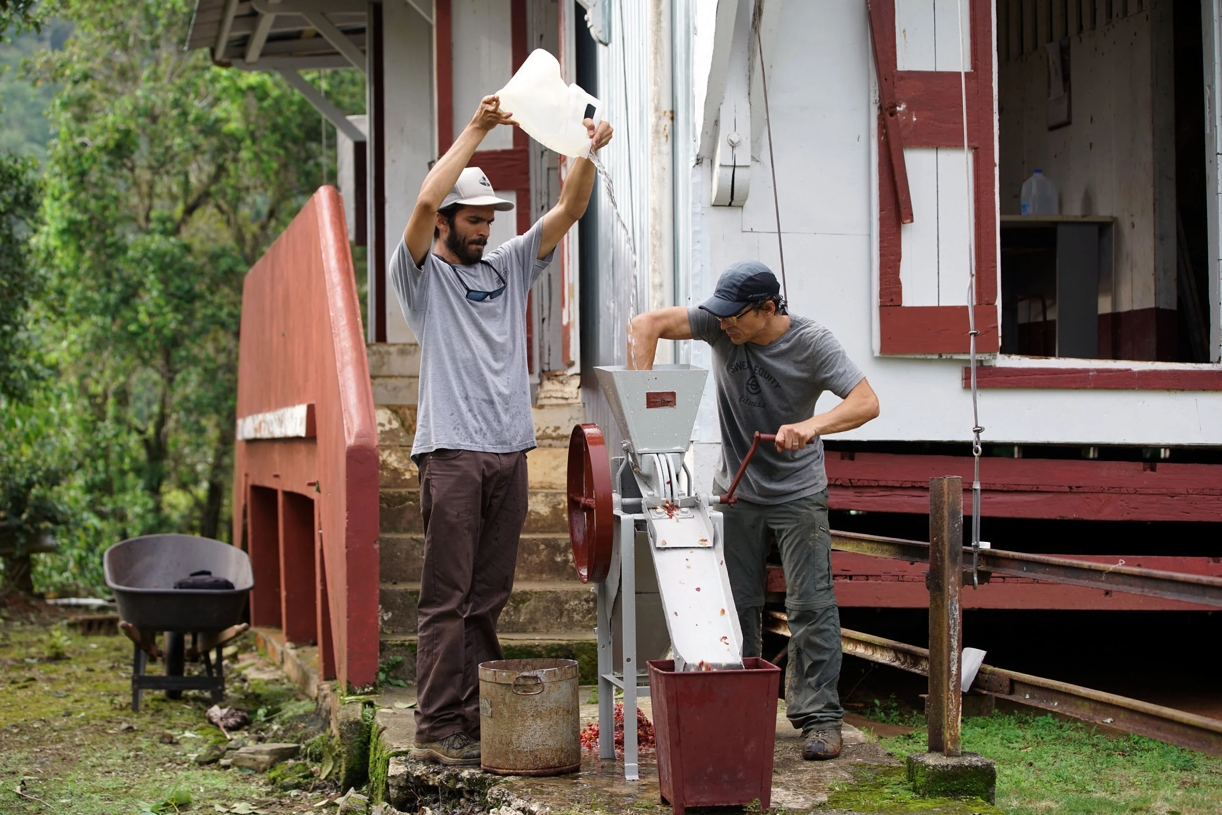
Read MoreHacienda Masini, like many farms in Puerto Rico, faces challenging conditions. Hurricane Irma and Maria destroyed most of the farm’s coffee trees, including many ancient specimens, and also much of its old-growth tropical montane forest.
Read MoreCarl Steinitz's interests are reflected in his teaching and research on landscape change, methods of landscape analysis, visual quality, and landscape planning and design. Steinitz's research is devoted to improving the methods by which planners and designers organize and analyze information about large land areas and how they make major design decisions.
Read MoreThe Augmented Reality (AR) sandbox allows users to create topography models by shaping real sand, which is then augmented in real time by an elevation color map, topographic contour lines, and simulated water. The system teaches geographic, geologic, and hydrologic concepts — such as how to read a topography map, the meaning of contour lines, watersheds, catchment areas, levees, etc.
Read More